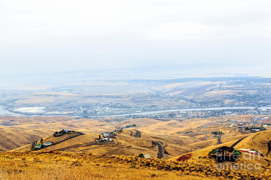
Lewiston Hill

by Jon Burch Photography
Title
Lewiston Hill
Artist
Jon Burch Photography
Medium
Photograph - Digital Capture/faa Watermark Will Not Be On Your Finished Photograph.
Description
Lewiston Hill road was built in 1917 when automobile traffic made steep old wagon roads obsolete. The new highway grade with a series of sharp curves allowed cars travel up to 30 miles per hour, which was a good speed for that time, up or down along a gradual ten mile, 2000 foot elevation change.
The road can still be used today by anyone not into much of a rush and wanting to see an engineering model of early highway construction.
That's Lewiston, Idaho and the Snake River in the background. Started in May of 1861 as a steamboat landing, Lewiston immediately became a primary commercial center for Idaho miners during their hectic gold rush to Pierce in the spring. Steamboats continued to dock at Lewiston until 1940, mainly after Columbia and Snake River channel improvements made navigation practical in 1914. Finally a series of locks and dams made Lewiston a seaport, and large scale river shipping resumed in 1975.
The Snake River is a major river of the greater Pacific Northwest in the United States. At 1,078 miles long, it is the largest tributary of the Columbia River, the largest North American river that empties into the Pacific Ocean. Rising in western Wyoming, the river flows through the Snake River Plain of southern Idaho then through the rugged Hells Canyon area via northeastern Oregon and the rolling Palouse Hills to reach its mouth near the Washington Tri-Cities area, where it continues as part of the Columbia. Its drainage basin encompasses parts of six U.S. states, and its average discharge is over 54,000 cubic feet per second.
Rugged mountains divided by rolling plains characterize the diverse watershed of the Snake River. The Snake River Plain was created by a volcanic hotspot which now lies underneath Yellowstone National Park, the headwaters of the Snake River. Gigantic glacial-retreat flooding episodes that occurred during the previous Ice Age carved out many topographical features including various canyons and ridges along the middle and lower Snake. Two of these catastrophic flooding events significantly affected the river and its surrounds.
Image copyright 2016 Jon Burch Photography all rights reserved.
Uploaded
October 26th, 2015
Embed
Share


